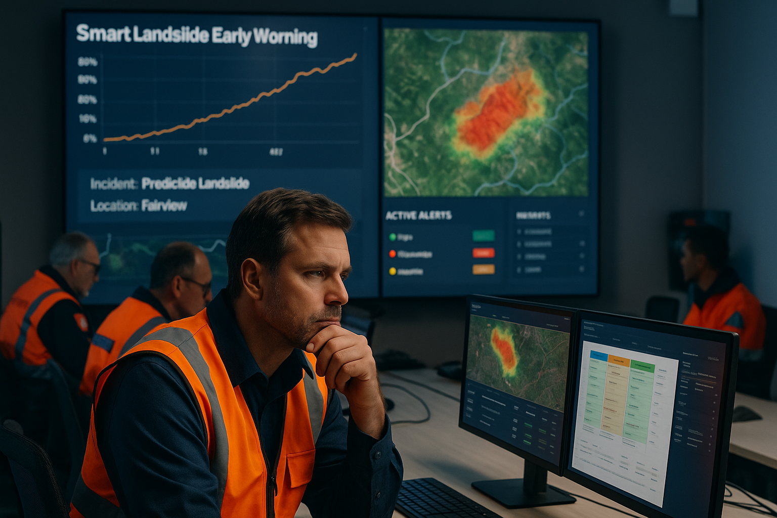
Smart Landslide Early Warning System

SLEWS gives disaster management teams the time and insights they need to act fast. It brings together data from weather stations, satellite imagery, rainfall patterns, soil maps, and past landslide records — all in one place. Using advanced AI and GIS mapping services, the system analyses the historical data and then forecasts where and when a landslide might happen, helping front liners to make decisions that save lives and protect infrastructure.
Technologies Behind the Solution
Smart Landslide Early Warning System
AI and ML analyze data to forecast landslides and identify patterns. The solution continuously improves its forecasting capabilities as more data is collected.
Internet Of Things (IoT)
IoT sensors enable real-time environmental monitoring, detecting early warning signs of landslides.
Geographic Information Solutions (GIS)
GIS provides real-time geospatial data, allowing teams to visualize landslide zones, coordinate responses, and manage resources efficiently in complex terrain.
ICT Infrastructure Development
Robust ICT infrastructure supports the integration of data and communication solutions, ensuring seamless operations during landslide management.
What Does SLEWS Actually Do?

Monitors in Real Time
Ingests live data from IoT weather stations, remote sensing, and environmental feeds.

Analyzes & Maps Susceptibility
Combines climatic, geological, and human exposure data into dynamic risk layers.

Forecasts Landslide Events
Uses AI/ML models to identify probable triggers and forecast high-risk zones.

Visualizes Intuitively
GIS-based dashboards and mobile apps provide accessible insights for on-ground teams.
Smart Features, Stronger Outcomes.

Smart Landslide Early Warning System in Action

Enhancing Methods To Predict Natural Disasters like landslides With An Advanced Landslide Warning System
SLEWS analyzes past landslide events — mapping what triggered them, what could’ve been prevented, and how to respond better. Its predictive engine identifies high-risk zones, enabling smarter alerts, resource planning, and stronger regional preparedness.
I am Nexus.
