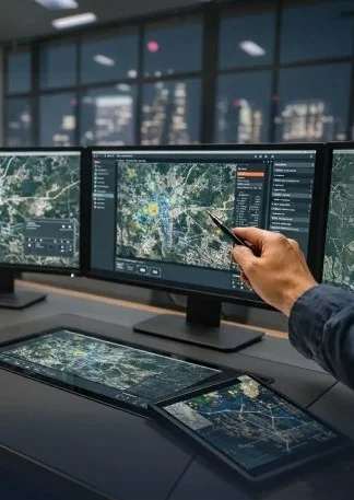
Asset Tracking & Field Visibility
Monitor distributed assets, equipment, and facilities with map-based tracking.
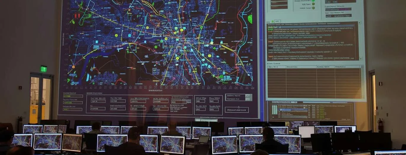
SCS Tech India is a leading GIS company with a strong global footprint. We deliver GIS solutions to organizations worldwide. We are the first in India to digitally enable the country's first GIS-based national geohazard early-warning system. We are also behind one of India’s largest GIS-based Fire Brigade Command and Control Centres. Our expertise in GIS mapping, location intelligence, and geospatial analytics helps businesses make smarter decisions and improve operational efficiency.
Monitor distributed assets, equipment, and facilities with map-based tracking.
Optimize service, delivery, or inspection routes with real-time constraints and spatial analysis.
Visualize roads, utilities, networks, and zones for planning and governance.
Map environmental parameters, risk areas, and hazard zones for mitigation strategies.
Use spatial data to improve warehouse allocation, delivery clusters, and performance evaluation.
Analyze geography, demographics, and demand signals to make data-informed placement decisions.


Improved operational visibility across sites, assets, and zones
Reduced travel and service costs through routing insights
Better planning with spatial data forecasting
Faster issue resolution with real-time spatial alerts
Enhanced collaboration across teams via shared geospatial dashboards
Data-driven decisions based on location intelligence

Have questions? Find answers to frequently asked questions about.
We offer GIS surveys, LIDAR/GPR/Photogrammetry mapping, spatial analytics, and consultancy for infrastructure, logistics, and disaster management.
Traditional mapping displays static visuals. GIS mapping provides analysis, pattern recognition, forecasting, and integrated data layers. It enables actionable insights, not just images.
GIS solves problems related to asset visibility, route planning, logistics optimization, infrastructure planning, environmental monitoring, and strategic location decisions.
Yes — by integrating spatial systems with live IoT and operational feeds, we deliver real-time visibility and alerting.
Looking for reliable GIS mapping services?
Let's unlock location intelligence that improves visibility, planning, and operational outcomes.
Connect With Us