GIS-Based Workforce & Fleet Tracking System
Real-Time Visibility. Better Control. Faster Response.
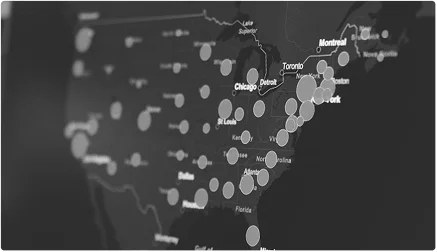
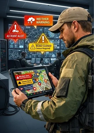
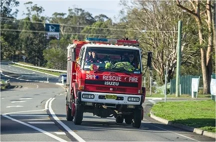
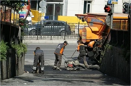
Knowing where your people and vehicles are, in real time, isn’t a luxury but a necessity in modern operations. Whether it's about emergency response, utilities, field services, or logistics, live tracking changes everything. The GIS-Based Workforce & Fleet Tracking System provides organizations with accurate, real-time location intelligence. So, they can coordinate better, act faster, and optimize every move.
The Challenge
Without clear location visibility, teams face real operational friction:
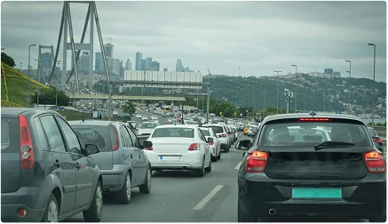
Vehicles arrive late or out of order
Teams get duplicated on tasks


No reliable way to track field worker time or progress


Supervisors depend on phone calls or messages

Resource planning becomes guesswork


Costly delays and redundancies impact performance
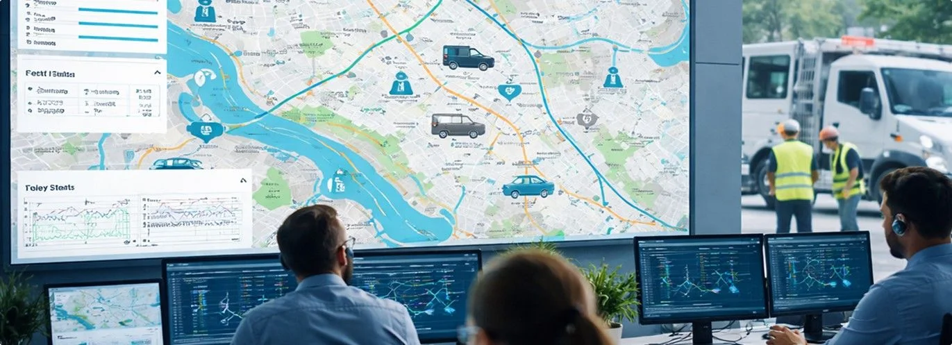
What the System Does
The GIS-Based Workforce & Fleet Tracking System provides:

Using advanced AI and predictive analytics, it detects early signals of potential landslides and delivers actionable insights to teams on the ground.
Key Features
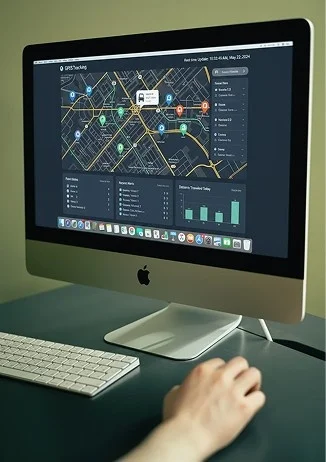
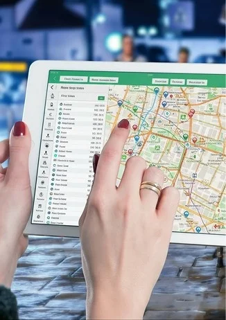
Track every team member and vehicle in real time with GPS, so organizers always know where resources are and what they're doing.
See workers and fleets displayed on interactive maps with:
- Roads, landmarks, and terrain details
- Smart routes for faster travel
- Clear views of progress and task status
This simplifies decision-making in fast-moving operations.
Workers can update their status (en route, on site, completed) with a single tap. There is no need for calls or manual input, and supervisors can monitor progress instantly.
Set virtual boundaries over areas like maintenance sites, danger zones, or service regions. When teams enter or leave these areas, the system sends instant notifications.
Review past movements to:
- Improve future logistics
- Identify delays or bottlenecks
- Understand which routes are fastest or most reliable
This helps supervisors plan smarter, not just faster.
Available on both desktop dashboards and mobile apps:
- Field teams stay connected
- Command centers get full visibility
- Information flows seamlessly between locations
Key Outcomes
With this tracking system in place, organizations experience:
Faster response times
Better allocation of vehicles and manpower

Greater accountability and transparency
Reduction in unnecessary fuel and travel costs
Improved planning and logistics

Low overhead for supervisors

Why Choose Us ?
Built for live operational environments
Easy to use for
non-technical
users

Strong
visualization with
interactive maps
Real-time
updates without
lag
The fleet tracking
system is designed for
the Indian terrain
Know Where Your Teams Are. Act Without Delay.
Gain real-time visibility into workforce and fleet operations for smarter coordination.
Connect With Us