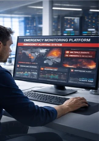
Real-Time Alerting and Early Detection
Trigger automated alerts based on sensor data, reporting feeds, and analytics signals.
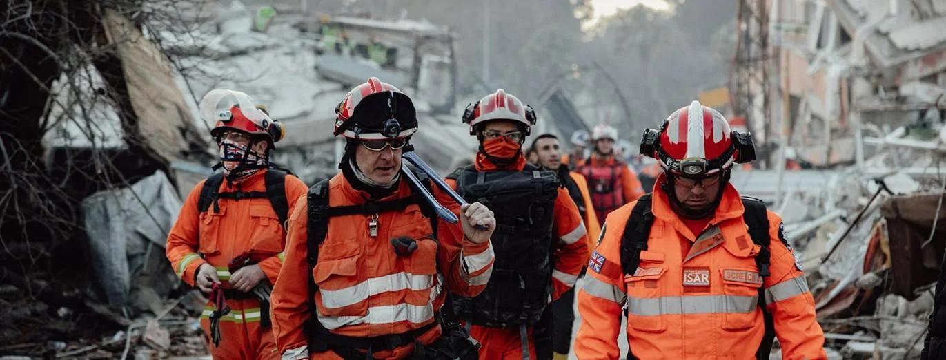
SCS Tech India enables organizations and public safety agencies to prepare, monitor, coordinate, and respond to disasters. Our disaster management software comes with real-time alerts, incident workflows, and operational visibility.
Trigger automated alerts based on sensor data, reporting feeds, and analytics signals.
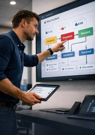
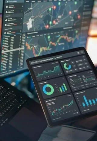
Monitor incident metrics, responder status, and escalation workflows in one place.
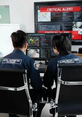
Share live data, tasks, and decisions across police, fire, medical, and field units.
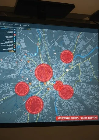
Map risk zones, outcomes, and resource footprints for better field decisions.
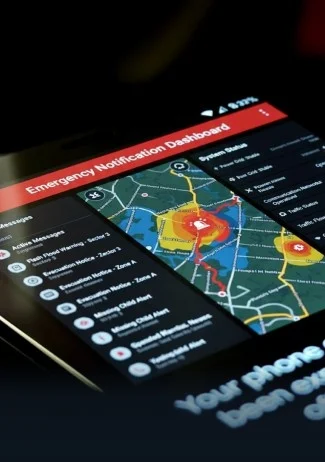
Deliver warnings, status updates, and alerts to public channels and apps.
Capture response data, outcomes, and metrics to improve future readiness.
Shorter response times during critical events
Better situational visibility across stakeholders
Seamless resource coordination and task tracking
Automated alerts and escalation workflows
Robust data for after-action reviews and planning
Improved readiness and operational performance

Have questions? Find answers to frequently asked questions.
We deliver systems including real-time monitoring and alerting, incident command dashboards, multi-agency collaboration, GIS situational intelligence, and citizen engagement platforms to support emergency readiness and execution.
Real-time alerting enables faster awareness and action by automatically triggering notifications based on incoming data, thresholds, or sensor inputs. It can reduce delays in response.
GIS provides spatial insights to visualize incident zones, risk areas, resource positions, and performance overlays for better field decisions.
Yes. Our disaster management software can integrate citizen engagement channels, enabling warnings, updates, and status messages to be delivered to the public.
Strengthen awareness and emergency response with the top disaster management system.
Let's build platforms that enable faster detection, coordinated action, and measurable performance.
Connect With Us