Enhancing Methods To Predict Natural Disasters With An Advanced Landslide Early Warning System
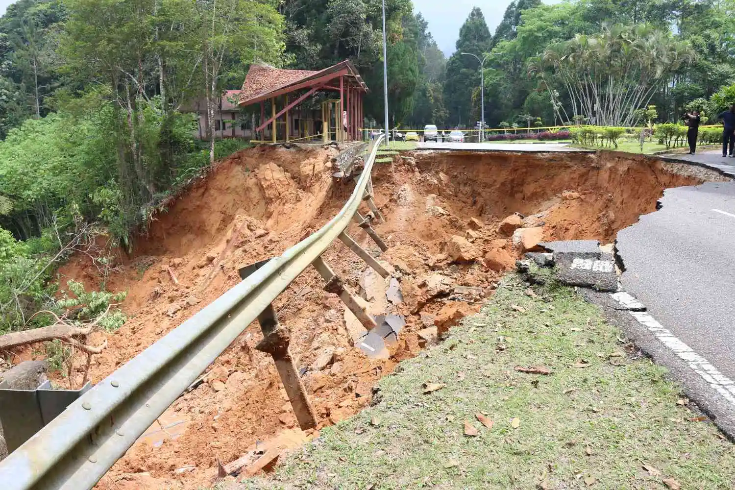
Faced with frequent, rainfall-induced landslides across hilly and ecologically sensitive zones, Indian disaster management agencies needed to establish an effective landslide warning system by integrating technology and conducting continuous research to enhance resilience, reduce risks, and minimize the impact of landslides.
The business challenge
India's disaster management authorities faced persistent hurdles in mitigating landslide risks, including
Our Solutions
To address these multifaceted challenges, SCS Tech collaborated with the Geological Survey of India (GSI) to design, build, and operationalize the National Landslide Forecasting Centre (NLFC) — a centralized, round-the-clock command center for forecasting, monitoring, and mitigating landslide threats across India.
Smart Forecasting Algorithms
Developed using AI/ML and 4th-gen languages to assess slope instability, rainfall thresholds, and terrain susceptibility.
Enterprise GIS Integration
Enabled geospatial data visualization, hazard mapping, and vulnerability analysis across multiple regions.
Data Consolidation & ETL Pipelines
Unified meteorological, satellite (NASA, NOAA, MODIS), demographic, and historical landslide data into a single decision-making platform.
Dynamic Data Center and ICT Infrastructure
Scalable architecture with high-performance computing, real-time dashboards, and secure data centers for constant system availability.
Stakeholder Training & SOPs
Delivered standardized operational protocols and trained administrative and community-level users for better response.
Real-Time Dissemination
Automated generation and delivery of daily forecast bulletins to relevant authorities and communities via SMS, web, email, and mobile apps.
Key Scope of Work Done
Advanced Forecasting and Dissemination System
Real-time system for forecasting rainfall-induced landslides across major risk zones in India.
Centralized Geo-Database
Creation and upkeep of landslide inventories, susceptibility maps, and risk models for informed decision-making.
24x7 Monitoring & R&D
Round-the-clock monitoring center with real-time alerts and ongoing research support.
Training & Capacity Building
SOPs, stakeholder training, and capacity building at both national and state levels.
Data Compliance & Governance
Ensures data privacy, transparency, and adherence to regulatory norms.
Impact
-
Lives Protected, Losses Prevented: Issued early warnings across multiple districts, aiding swift evacuations, infrastructure protection, and reduced casualties.
-
360° Situational Awareness: Unified views for planners, scientists, and response units—merging topography, weather, and vulnerability in one system
-
Science-Backed Preparedness: Incorporated continuous R&D, rainfall thresholds, and process-based modeling into daily advisories.
-
Smarter Land Use & Urban Planning: Strengthened infrastructure and energy management capabilities.


I am Nexus.